The levee: walking and cycling beside the Mississippi
Paved paths run along the top of the levees beside the Mississippi, where ships pass higher than the rooftops behind you. It is the best way to understand a city that lives below its river.
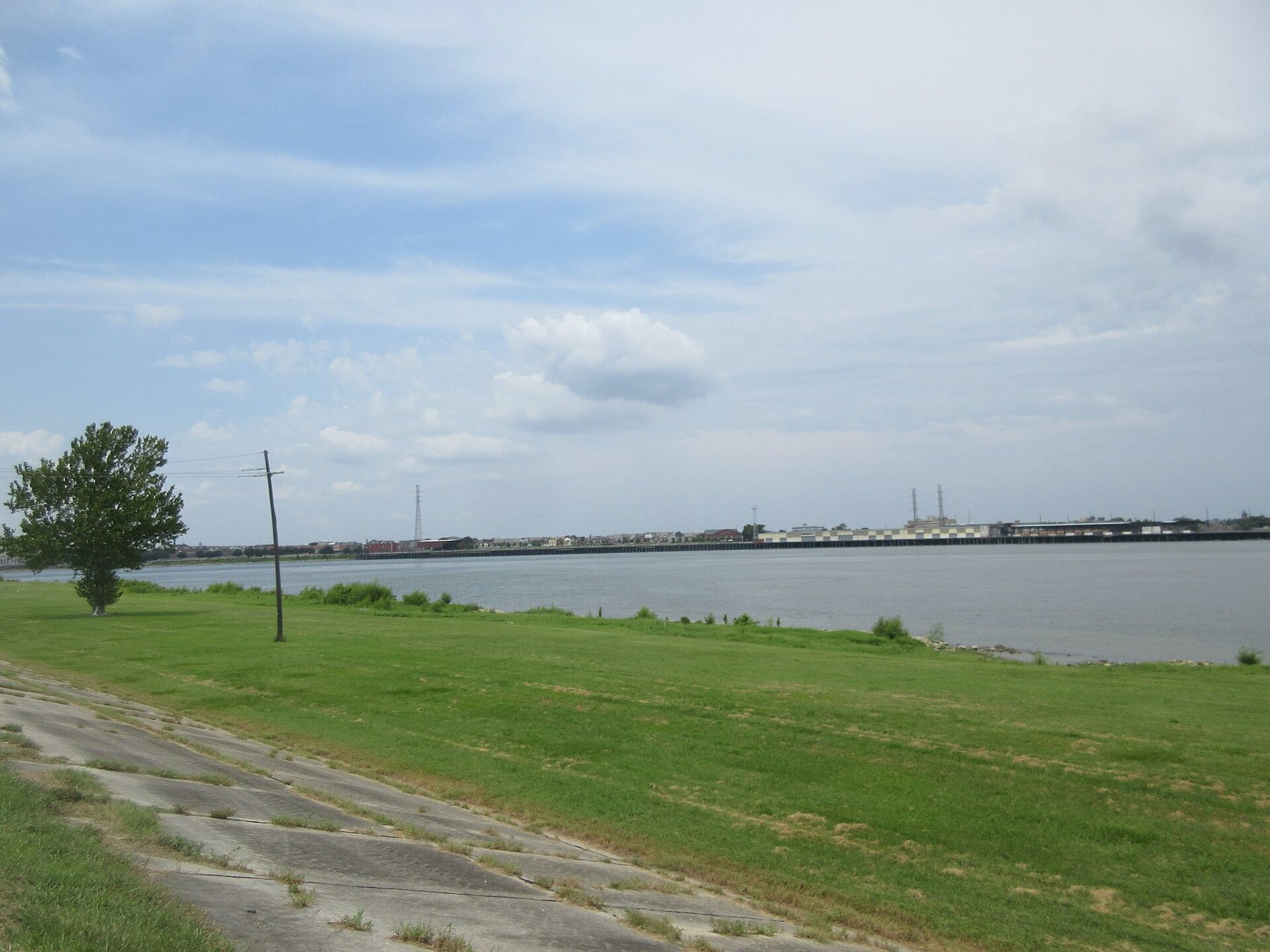
New Orleans was built on the banks of the Mississippi, and for most of its history the city has lived behind levees, the earth embankments and walls that hold the river back. In many places, the river at high water flows higher than the streets behind it. Paths along the top of the levees give some of the best walks and rides in the region, with the river on one side, the city on the other, and a wide sky overhead.
Why the levees matter
The Mississippi carries water from a huge part of North America. Its level rises and falls through the year, usually highest in spring. Before the levees, floods spread across the low land around the city. Today, a system of levees and floodwalls lines the river for hundreds of miles, maintained by government engineers. Standing on top of one, looking down at houses on one side and ships on the other, is the clearest possible lesson in how the city works.
Upriver from Audubon Park
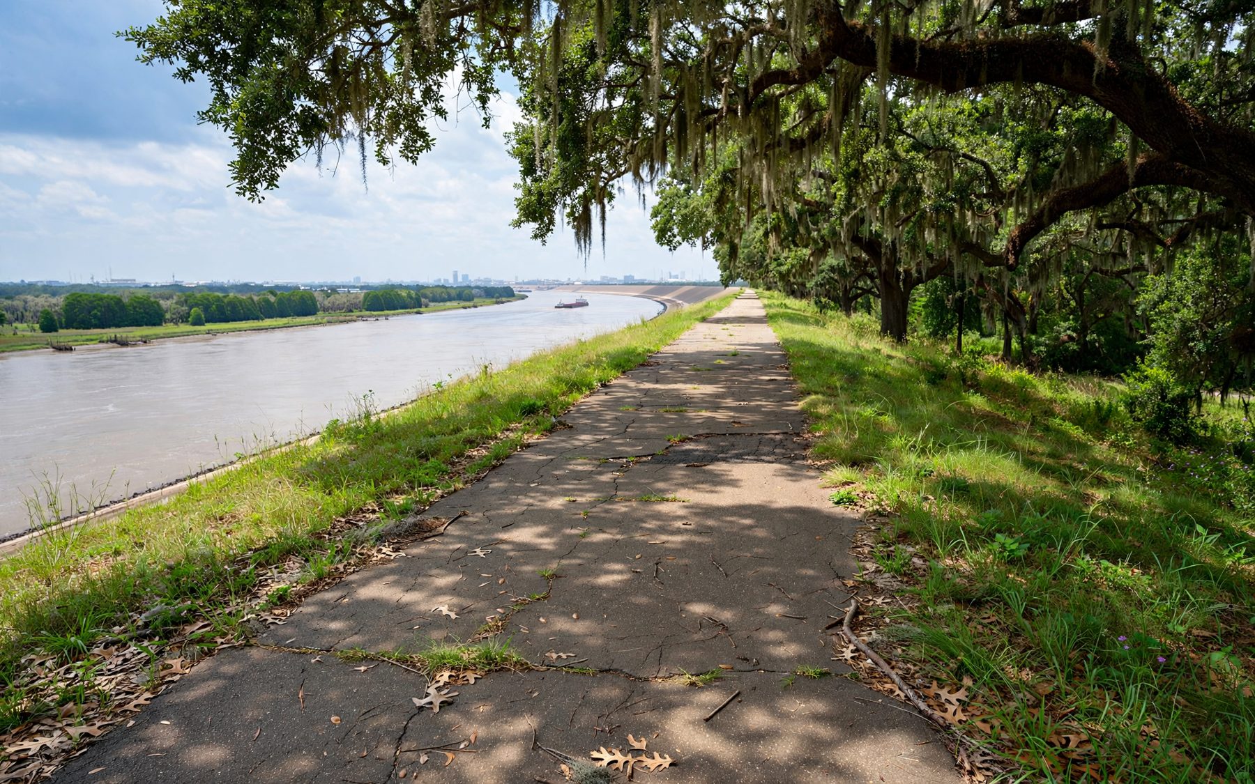
The longest continuous path starts at the river end of Audubon Park, near the lawn known as the Fly, and runs upriver along the top of the levee through Jefferson Parish and beyond. It is part of the Mississippi River Trail, a long-distance route along the river. The path is paved, flat and mostly free of traffic, making it ideal for cycling, with long views of the river, ships, industry and neighbourhoods. You can ride for many miles and turn back whenever you like.
Downtown: the riverfront
Downtown, the riverfront is a different experience. Along the French Quarter, Woldenberg Park and the Moonwalk, a promenade on the river side of the floodwall, give close views of ships and the river's bend, with the cathedral and the old city behind. It is busy with visitors and buskers, especially in the evening. From here, the ferry crosses to Algiers Point.
In many places, the river at high water flows higher than the streets behind it.
Ships at eye level
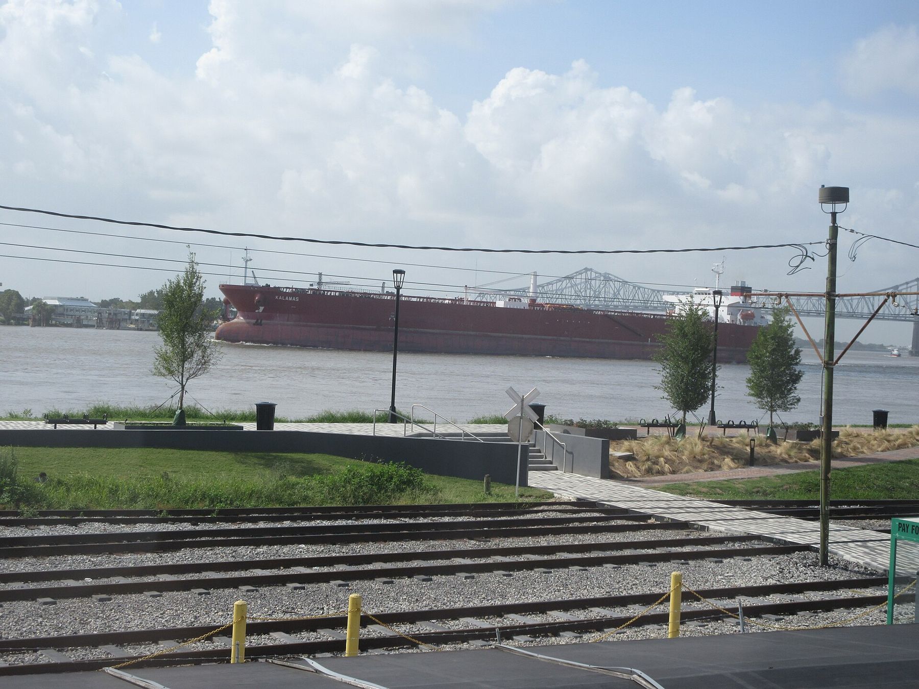
The lower Mississippi is one of the busiest waterways in the world. Ocean-going tankers and cargo ships, towboats pushing great rafts of barges and smaller harbour craft pass close to the bank. From the levee top, especially at high water, the big ships seem to float level with the rooftops behind you. At night, their lights move silently along the dark river.
No shade, strong sun
The levee tops are open grass and paving, with almost no shade. In summer, the sun and heat are intense, and the wind can be strong. Go early in the morning or in the late afternoon, carry plenty of water, wear a hat and sunscreen, and do not underestimate distances: a long ride out means a long ride back, sometimes into the wind.
Never swim in the river
The Mississippi's current is powerful, with whirlpools and undertow, and the water is deep and cold below the surface. Ships cannot stop or turn quickly. Swimming or wading is dangerous and is not allowed in many places. Keep children and dogs well away from the water's edge and the rocks along the bank.
On the west bank
Across the river, in Algiers, the levee also carries a path, with views back at the downtown skyline. It is quieter than the east bank riverfront and especially lovely at sunset. Reach it on the ferry from the foot of Canal Street.
Another panel · Levee pathsThe ferry to Algiers PointTwo to three hoursWhat you see along the way
Riding upriver from Audubon Park, the path passes riverside neighbourhoods, industrial sites, grain elevators and wharves. In places, you look down on rooftops and back gardens on the land side; on the river side, the batture, the land between the levee and the water, is wooded or grassy, flooding at high water. Shipyards, docks and moored barges line the far bank. The landscape is a mix of the beautiful and the industrial, which is the true face of the lower Mississippi.
Birds are part of the scenery: egrets in the batture, hawks over the levee, gulls and pelicans over the water. In spring, wildflowers bloom on the levee slopes.
The levee and the city
Levees are not decorative. They are maintained by public agencies, mowed and inspected, and access to them is controlled. Grazing animals and vehicles are kept off, and digging is forbidden. When the river is high, engineers patrol the levees for weak spots. The paths along the top are a privilege; follow the rules, and stay off the slopes where signs say so.
Downtown walks
The riverfront between the French Quarter and the Convention Center is lined with parks, plazas and promenades, many of them built on old wharves. It is lively, especially near the French Quarter, with street performers, benches and views of the river traffic. Combine a walk here with a ride on the ferry or a visit to the old city.
Bridges over the river
Downriver from the city centre, two high cantilever bridges carry traffic across the Mississippi between the east and west banks. From the levee paths, their steel spans are a constant presence on the skyline, especially at night when they are lit. They are not open to pedestrians or cyclists in the usual way, so the ferry remains the pleasant way across for those on foot.
Wind and weather
The river corridor funnels wind, and the levee top is exposed to it. Cyclists heading upriver into a north or west wind will notice the effort; the ride back is easier. In the cooler months, a cold front can bring a sharp, chilly breeze off the water, so carry a layer. Fog sometimes lies on the river on winter mornings, blurring the ships into ghostly shapes, a beautiful sight from the levee top if you are out early.
Gatepost notes
- Bicycles can be rented in the city; this guide names no businesses.
- Access points to the levee path are spaced out; plan where you will join and leave.
- Watch for cyclists if walking; keep right.
- Thunderstorms build fast in summer. The levee top is exposed; leave when lightning approaches.
- Levee maintenance can close sections; follow signs.
When the shade allows
The cooler months, from about November to March, are best for long rides and walks, with clear light and mild temperatures. Spring brings higher water and green levees. Summer is for dawn and dusk only. Sunset in the cooler months, with the sky reflected in the river, is the best hour of all.
Start the upriver path at the Fly behind the zoo, cross the river on the ferry to Algiers Point, or walk downriver to Crescent Park. For the heat, read the outdoor year.